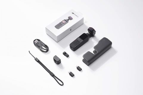

MAVIC MINI : UNBOXING AND HIGHLIGHTS
24.09.2021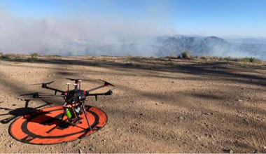
Drones & the Future of Fighting Forest Fires
10.09.2021

Drone Surveying: What is the Difference Between Aerial Photography and Photogrammetry?
- Người viết: Dji Việt Nam lúc
- Mở hộp
Even the most novice user knows that drones can be used to take photographs. The accessibility of drone aerial photography has led to their use across multiple sectors and produced some incredible images. But is it good enough for your next mapping or surveying job?
The truth is that aerial photographs on their own can not be depended on to provide the kind of perspective-free, measurable digital images needed for surveying. For that, you’ll need photogrammetry.